


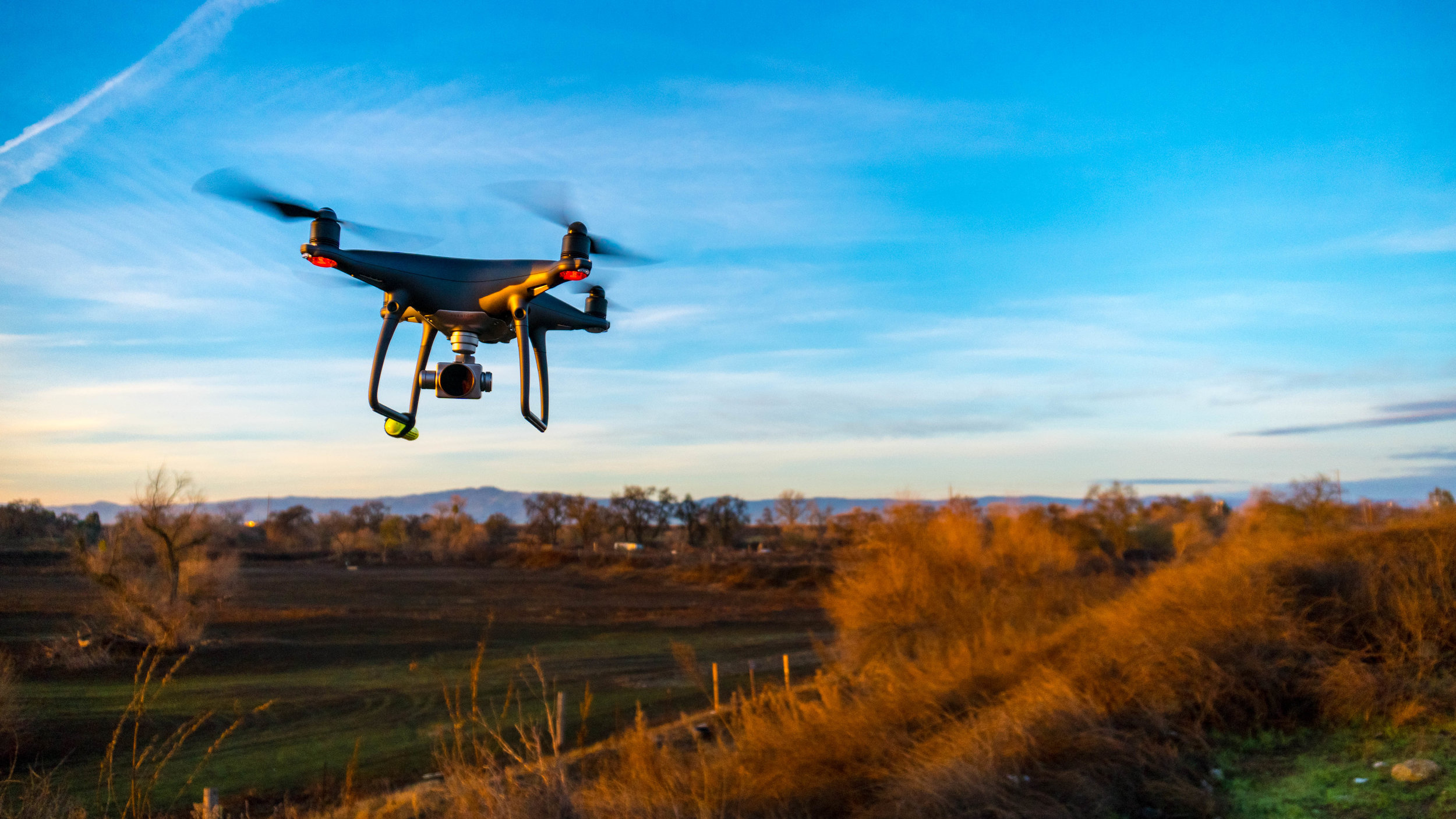
Thank you for visiting Corvus Aerial Imaging!
Please scroll down to find out more information on how we can serve you
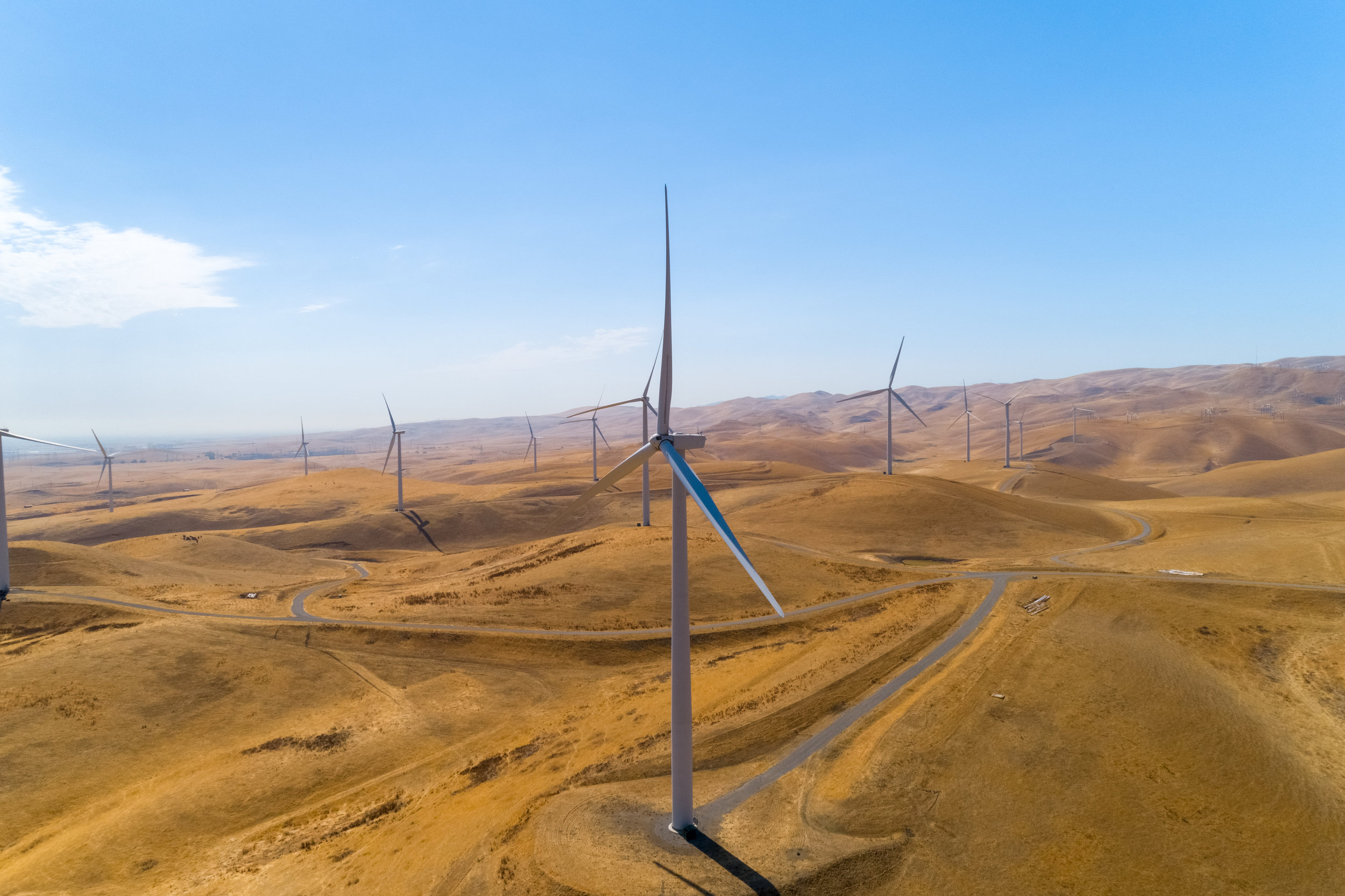
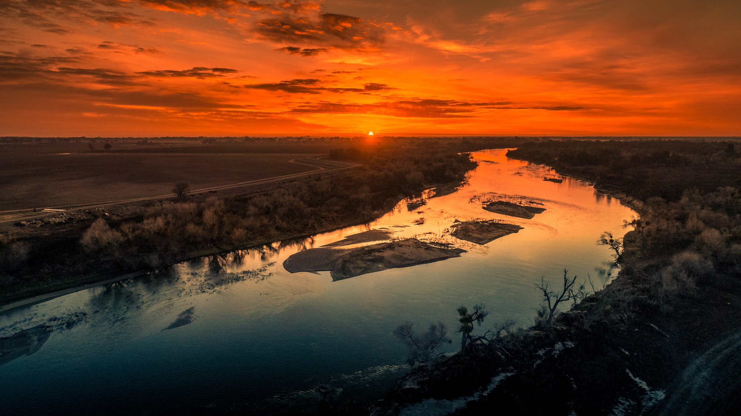
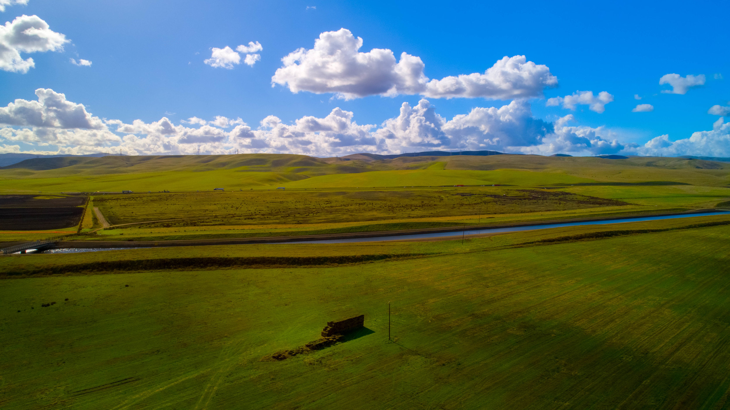
Agriculture
Here at Corvus Aerial Imaging, we provide you with data you can use to take your operation to the next level using our cutting-edge crop survey analysis technology. We provide NDVI, NDRE, RGB, and a variety of other indices that you can use to ensure the maximum return on your investment.

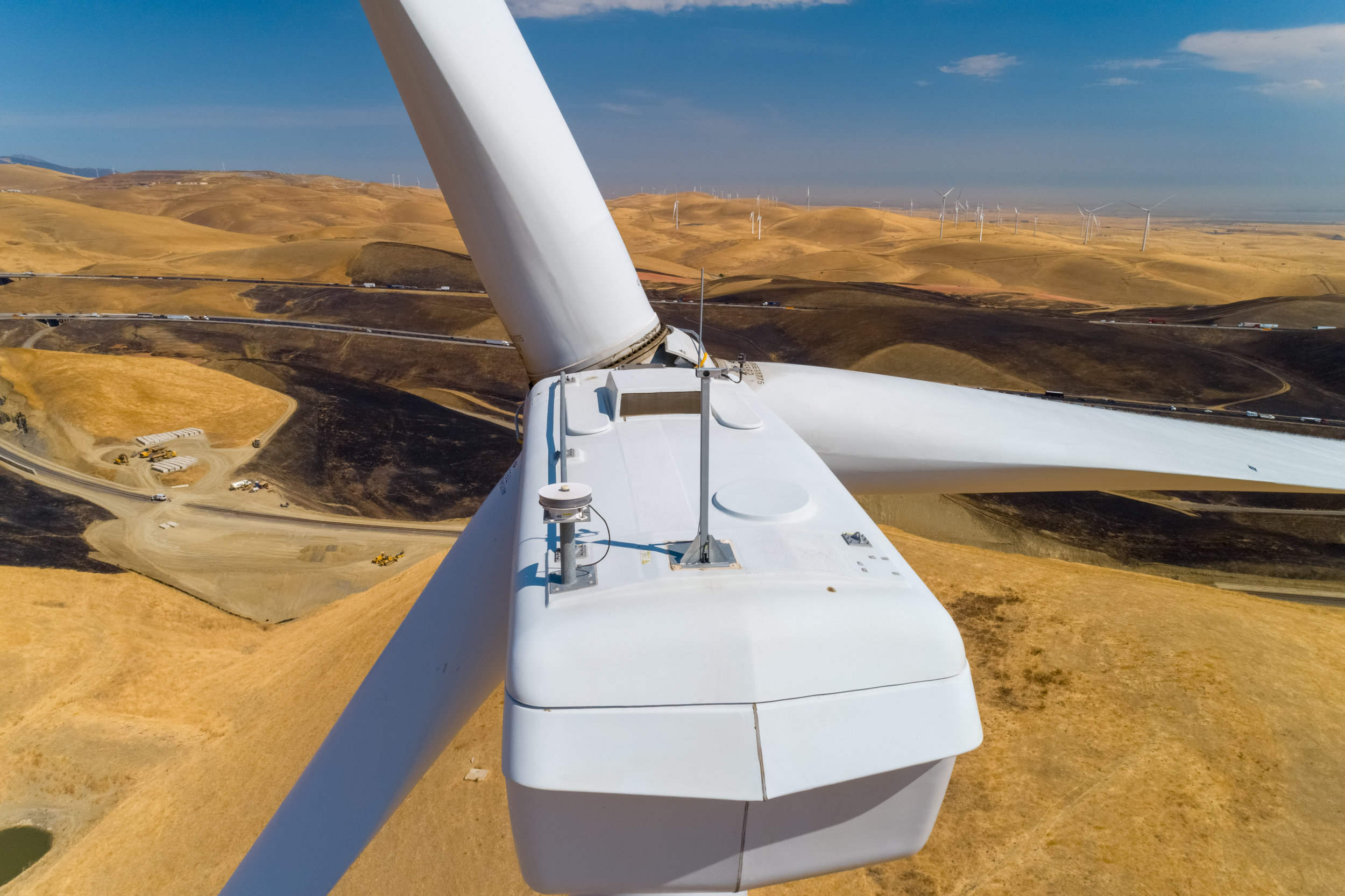
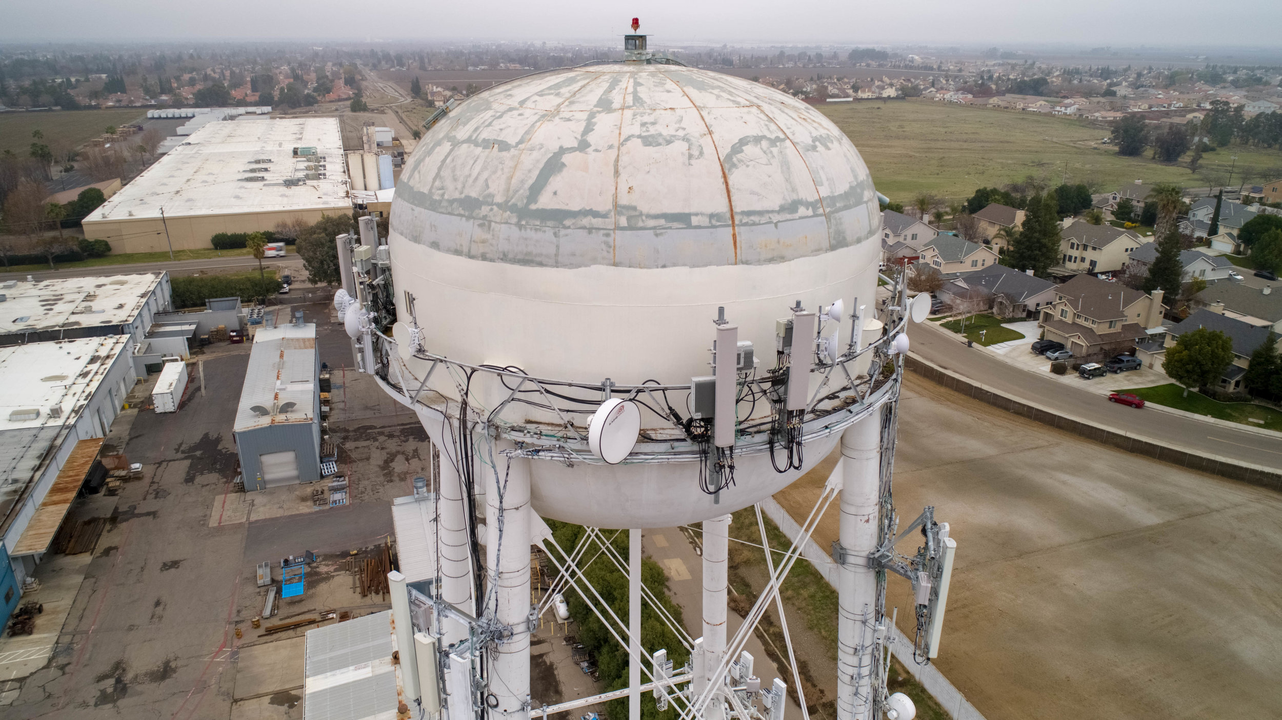
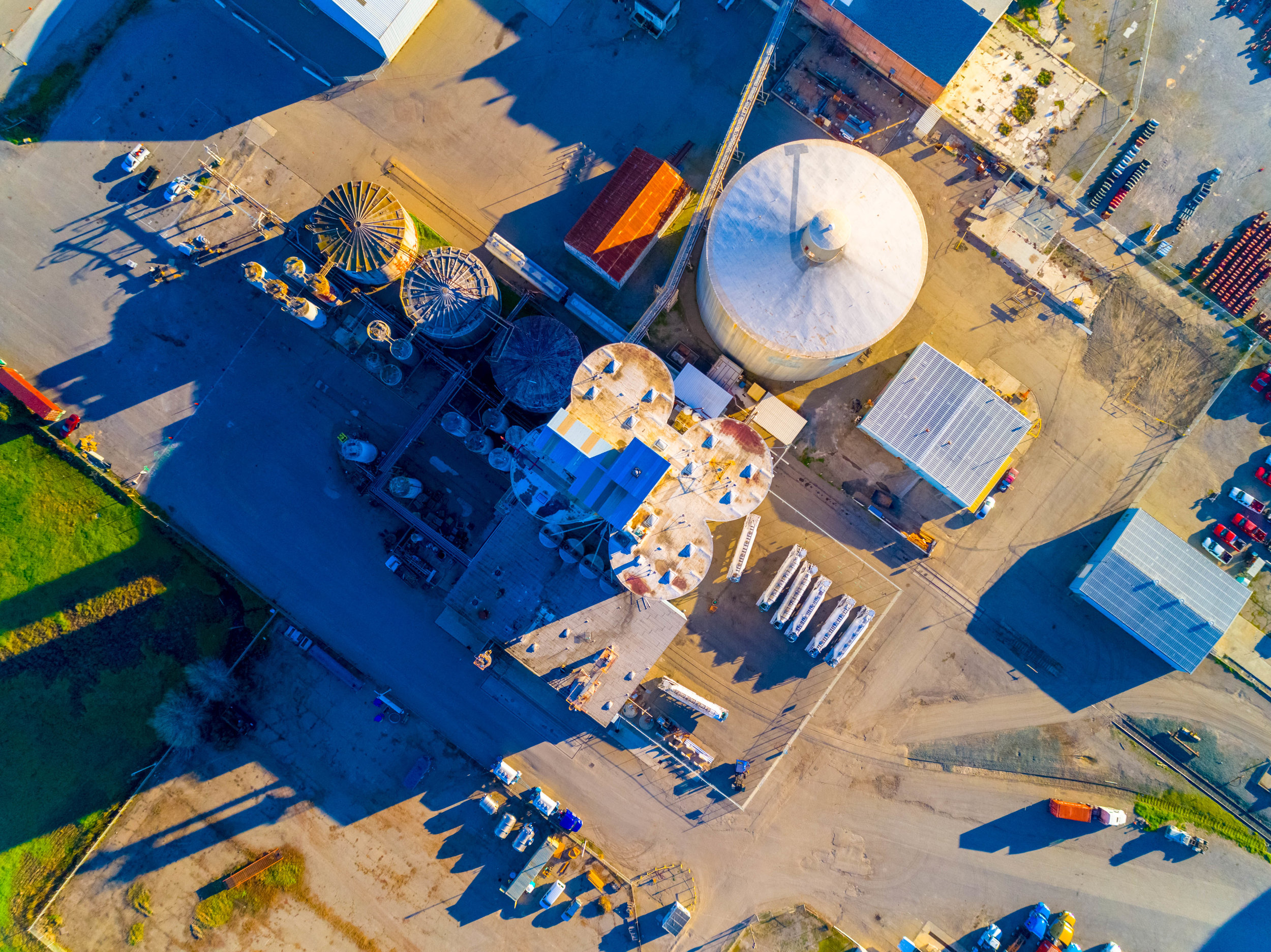
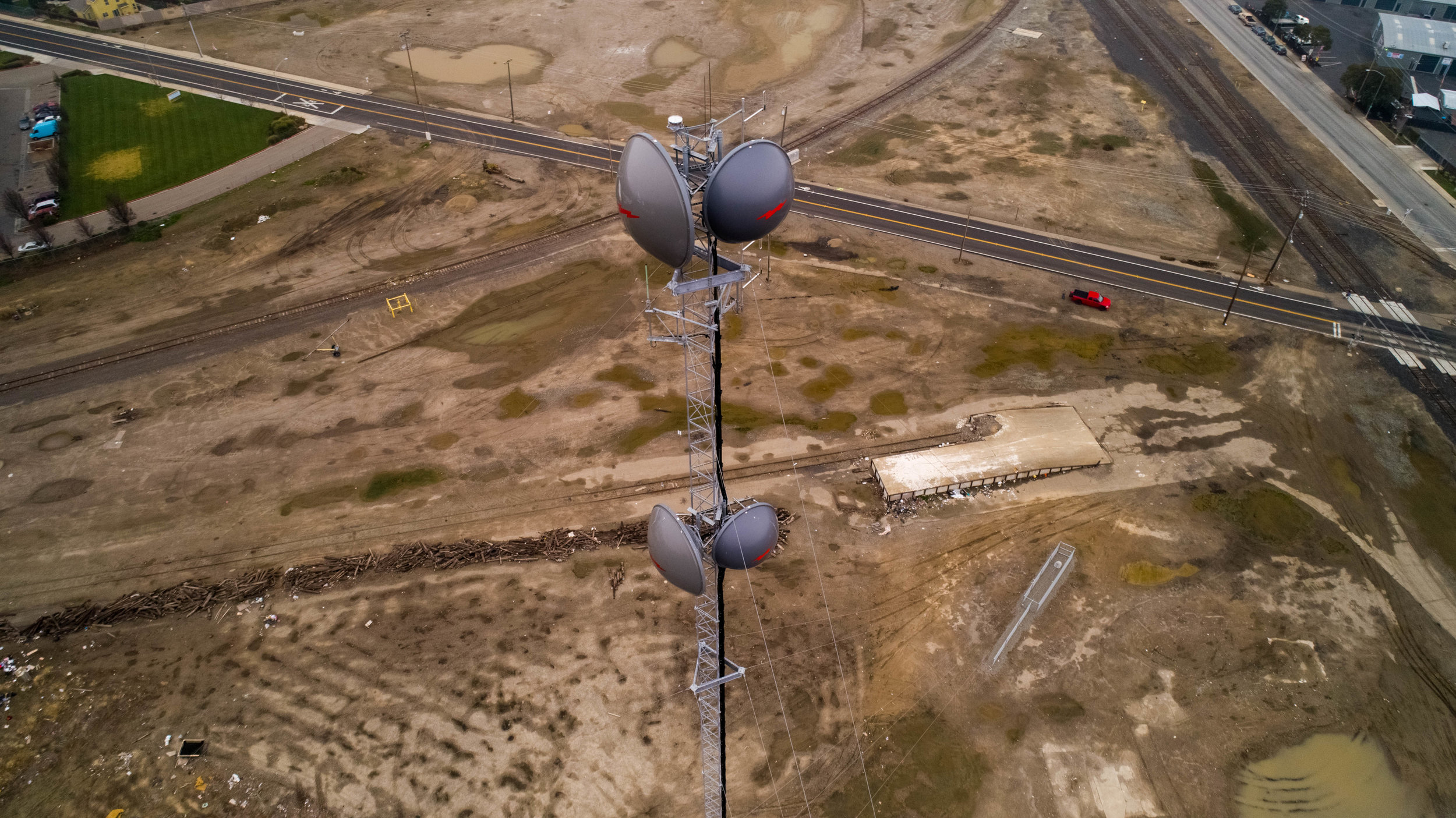
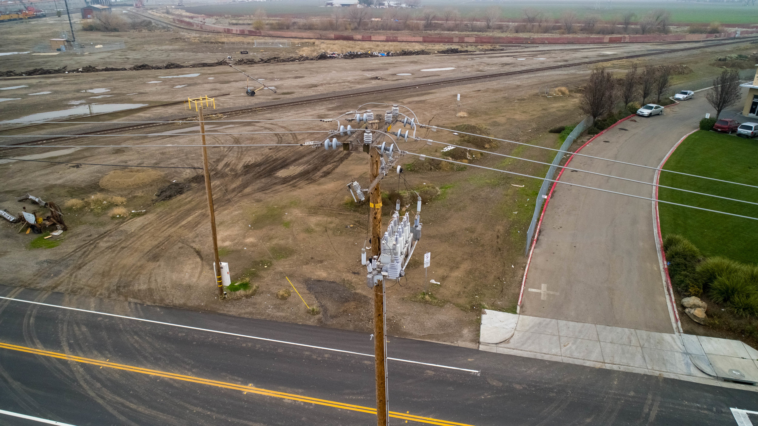
Commercial
Use our drones to catalog before-and-after video and photographic records of maintenance, repairs, and upgrades. Change-detection software allows ongoing monitoring programs and effectively inventory an entire system for accurate asset management. Our drones can cover your territory in ways that are cost-prohibitive manually.
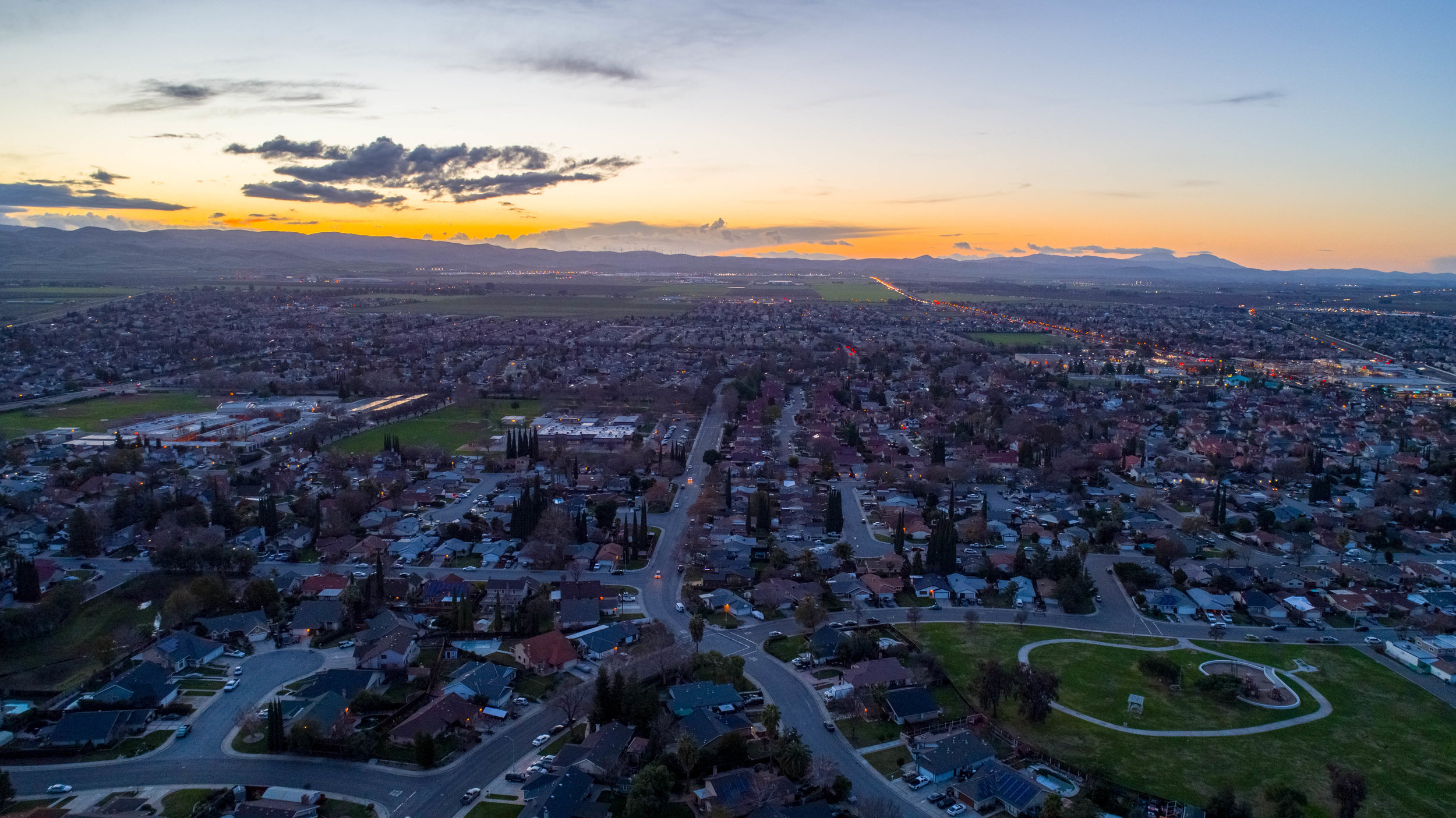
Real Estate
Let us help you to elevate your home selling success to new heights!

Cinema
Wow your customers with stunning and unique aerial images while taking your business to a new level!
Modeling and Mapping
We offer a multitude of indices to you including 3D Modeling, NDVI, NDRE, DSM (Digital Surface Model),
OSAVI (Optimized Soil-Adjusted Vegetation Index), Weed Mapping, and Chlorophyll Mapping.
